Chiang Rai (เชียงราย)
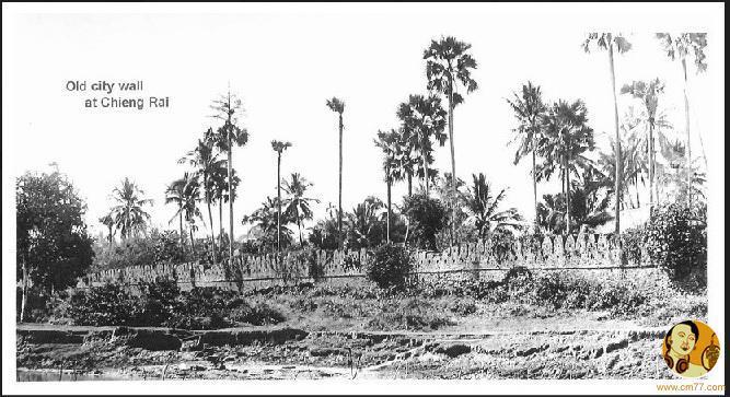
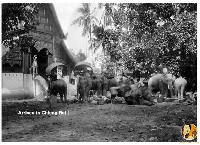
The city was founded by King Mangrai in 1262 and became the capital of the Mangrai dynasty. Subsequently, Chiang Rai was conquered by Burma and remained under Burmese rule for several hundred years. It was not until 1786 that Chiang Rai became a Chiang Mai vassal. Siam (Thailand) annexed Chiang Mai in 1899, and Chiang Rai became a province in 1910.
Chiang Rai province's Golden Triangle bordering Laos and Burma was once the hub of opium production which had much influence on cultural practices and lifestyles. Until this day, entire clans live together in bamboo houses and each village has its own individual character.
Climate
There are three seasons - the hot season from March to May, the rainy season from May to October and the cool season from November to February. In the cool season, the temperature may drop to 13 0C at night. It can be lower in the mountains.
Tourist attraction
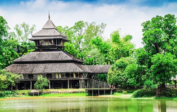
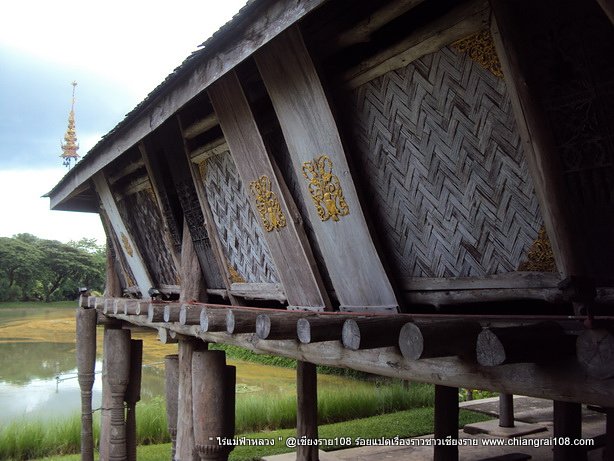
Mae Fah Luang Art and Cultural Park (Rai Mae Fah Luang) is located at Pa Ngiw Village, about 5 kilometers from the city center. It was founded by the late Princess Mother, who bought a 140 rai plot to set up a center for developing the youths from rural areas under the supervision of the Mae Fah Luang Foundation. The garden is a park cum museum preserving Lanna cultural objects.
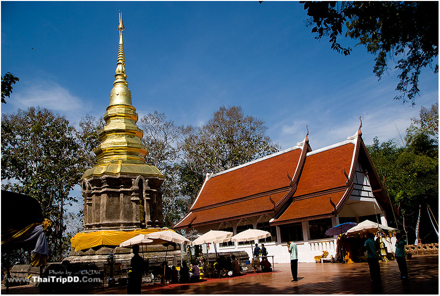
Doi Tung (ดอยตุง) is a revered mountain which includes the Doi Tung Palace and the Mae Fa Luang Flower Garden. The Wat Phra That Doi Tung Holy Relic, an old religious site on top of the mountain, is about 2,000 metres above sea level.
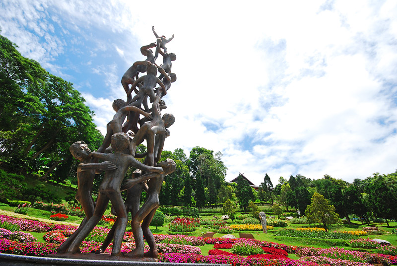

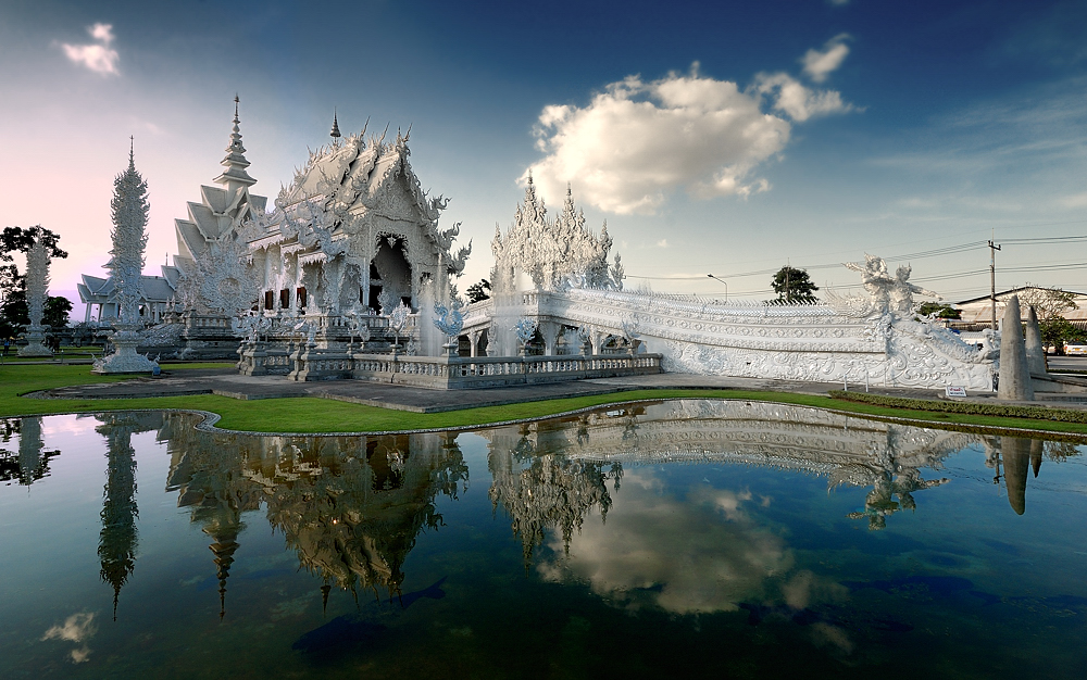
Wat Rong Khun (วัดร่องขุ่น): This temple was designed and built by artist Chaloemchai Khositphiphat. A white ordination hall – Phra Ubosot - is decorated with silver glittering pieces of mirrors. There are large mural paintings of the Lord Buddha in different gestures.
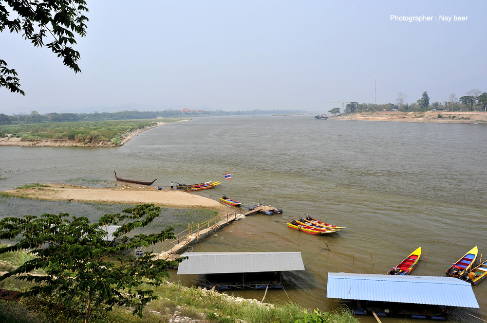
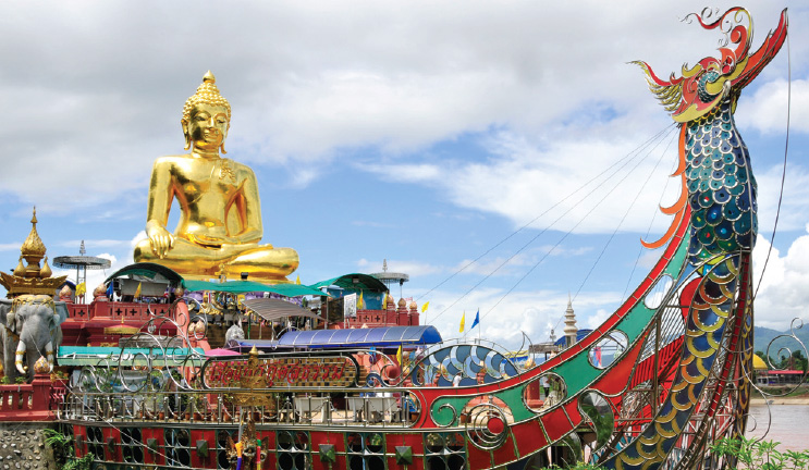
The Golden Triangle (สามเหลี่ยมทองคำ), locally called "Sop Ruak", is where the Mekhong meets the Ruak River and also where the borders of three countries, Laos, Burma and Thailand, meet together. There are remains of many ancient places and structures attesting to the area having been settled by people in the past.
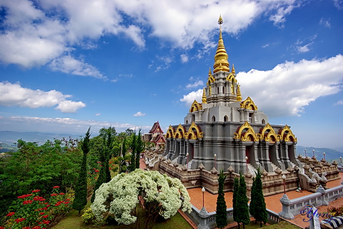
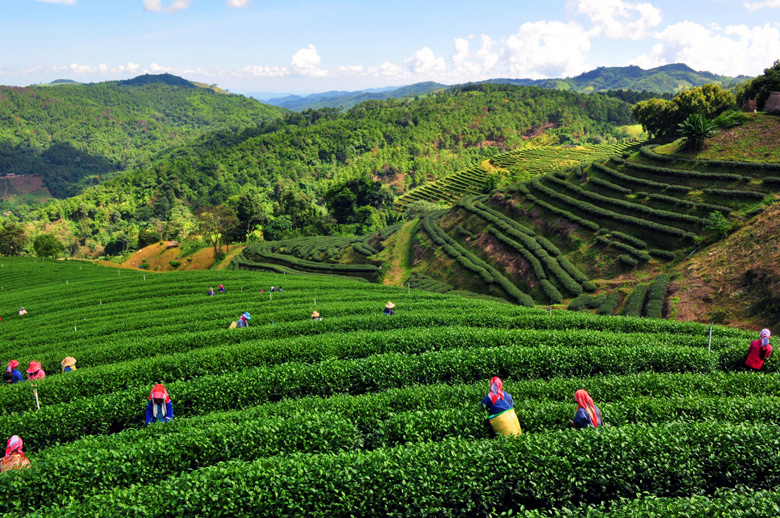
Doi Mae Salong (ดอยแม่สลอง) is home to a community settled by remnants of the 93rd Division of the Republic of China Army, who moved out of Yunnan province, China, in to Burma and after to Thai territory at the end of the Chinese Civil War in 1949. Today the town is a tourist attraction renowned for its tea and its small-town ambience on high hills.
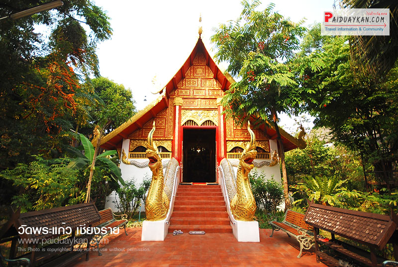
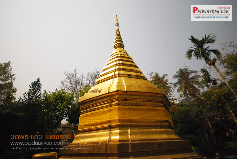
Wat Phra Kaeo (วัดพระแก้ว) once housed Thailand's most revered Buddha image, the Emerald Buddha. It was discovered in 1444. The statue had been moved by various state rulers to be placed in their respective capitals as a symbol of dominance, including Lampang, Chiang Rai and Vientiane before finally enshrined in Bangkok's Wat Phra Kaeo during the reign of King Rama I of the Rattanakosin period.
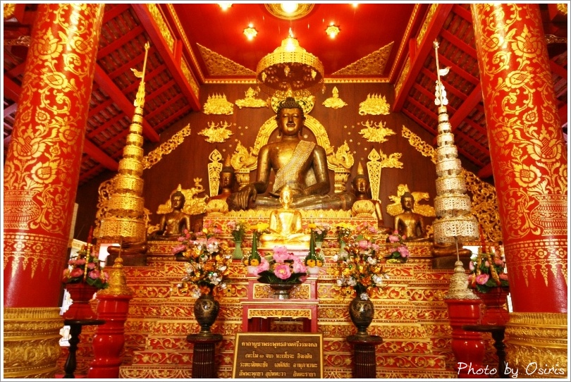
Amphoe Mae Sai: Mae Sai (แม่สาย), borders on Burma's Tachileik (ท่าขี้เหล็ก) marked by the Mae Sai River with a bridge spanning both sides. The area has a market selling lots of different goods.

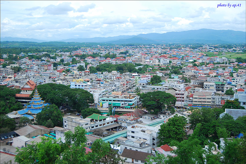
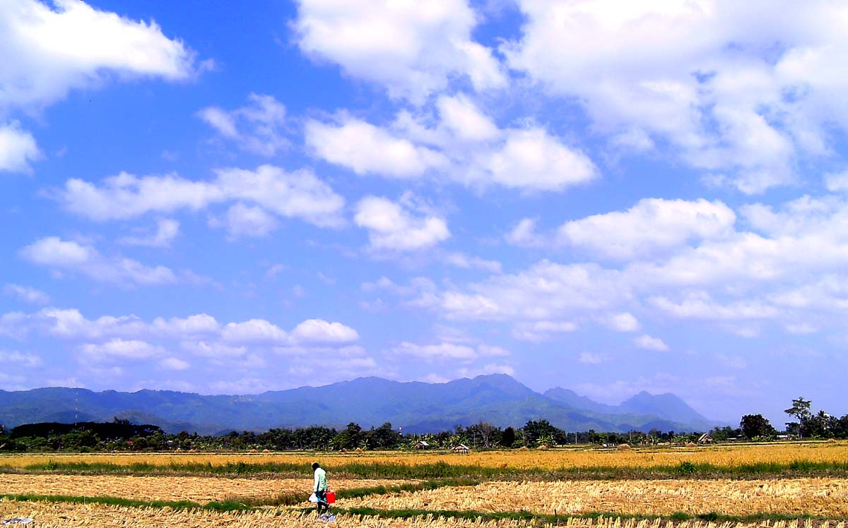
Doi Nang Non (ดอยนางนอน), "sleeping woman mountain", is an unusual land feature located in Mae Chan district on the western side of the highway between Chiang Rai and Mae Sai.[2] The silhouette of the mountain range takes the shape of a reclining woman when seen from certain angles. There is a viewpoint at Mae Chan, from where this land feature can be observed best.
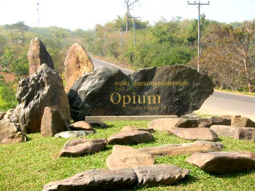
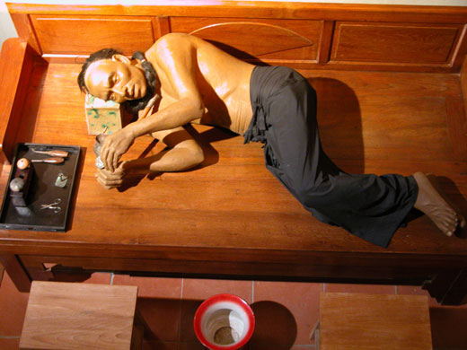
The Hall of Opium, Golden Triangle Park (หอฝิ่นอุทยานสามเหลี่ยมทองคำ) exhibits the history of opium in the Golden Triangle, its origin, opium war when people lived on opium planting and smoking, as well as the recovery of the people who lived here.
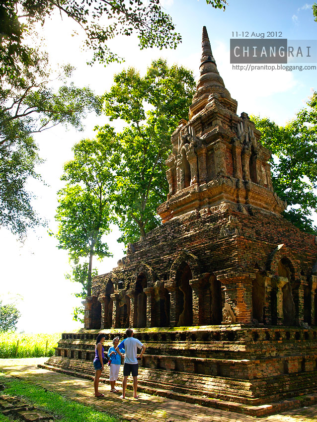
Chiang Saen (เชียงแสน): an ancient town which once served as the main town before King Mengrai established Chiang Rai as the capital of the Lanna Kingdom in 1262. Traces of old double city walls and many other antiquities still remain in and outside the district town. The attractions include Chiang Saen National Museum (พิพิธภัณฑสถานแห่งชาติเชียงแสน), Wat Phra That Chedi Luang (วัดพระธาตุเจดีย์หลวง) and Wat Pa Sak (วัดป่าสัก).
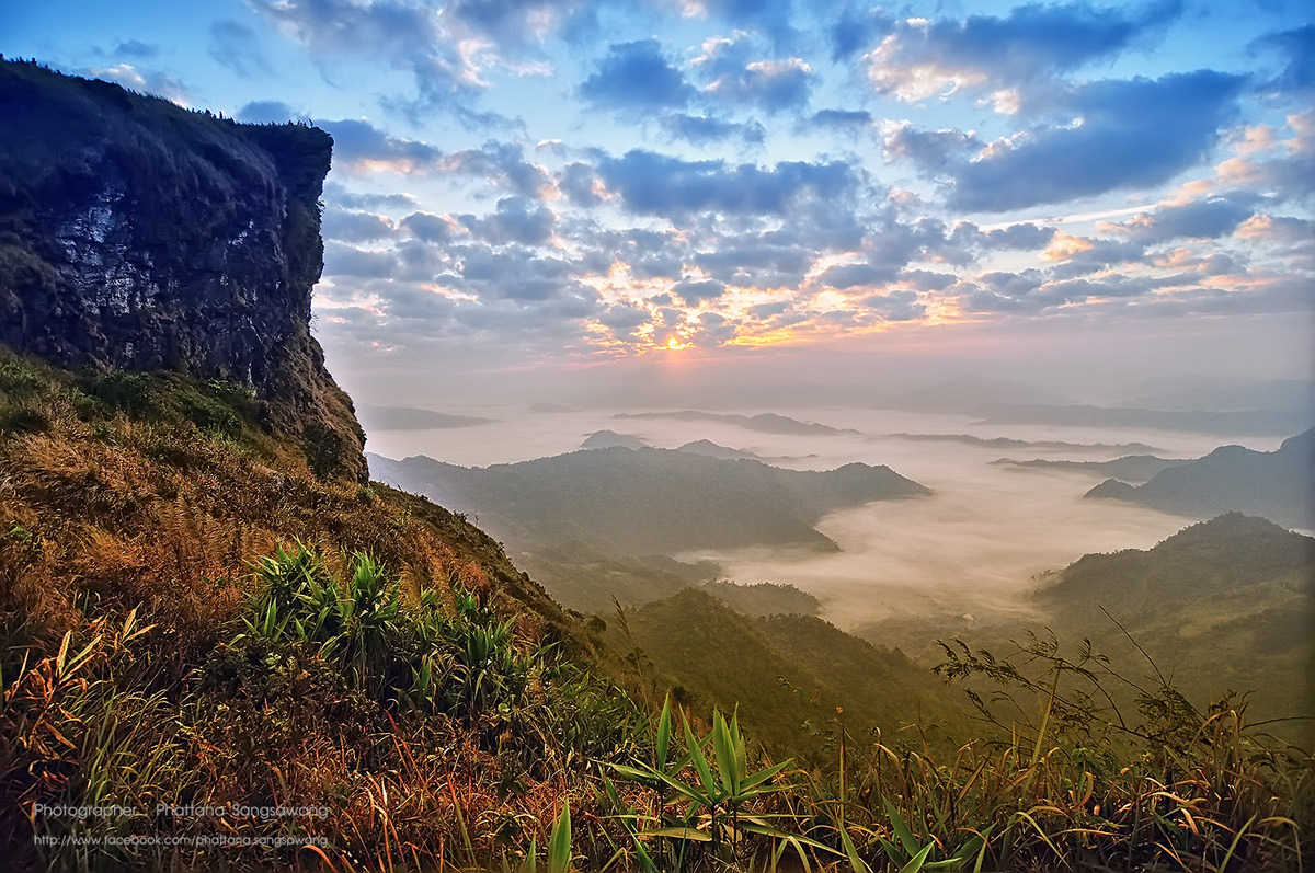
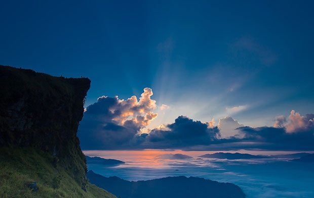
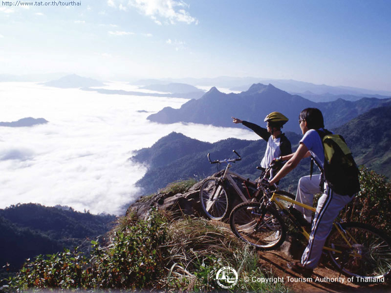
Phu Chi Fa (ภูชี้ฟ้า): There is a trail which leads from a parking lot up to the viewing point on the top of this mountain, a distance of 1.8 kilometres. From the sheer cliff of Phu Chi Fa, views, especially the sea of clouds at sunrise, can be seen. The cool climate produces flowering shrubs of various species.
Transportation
Route 1 runs from Bangkok through Chiang Rai to Mae Sai on the Burma border. Chiang Rai is 839 kilometers from Bangkok, about 14 hours by car or by bus. According to official bus schedules, the bus ride to Chiang Rai from Chiang Mai takes approximately an hour and 30 minutes, however the 175 km trip most often takes at least two and a half hours. All of these times should take into account the rainy season which lasts from about June to late October, this can severely inhibit travel with road sections often completely flooded and even washed out.
Several flights are available to and from Bangkok daily. Mae Fah Luang International Airport flight time is about 1 hour and 30 minutes. There are several major operators including Thai airways, Air Asia, Nok air and One to go.
Chiang rai map
http://www.thaiwaysmagazine.com/chiang_rai_map/chiang_rai_map.html
